Objective
In the drylands of the Sahel, land degradation is one of the biggest threats to the traditional livelihoods of millions of people. Niger, Burkina Faso and Senegal are countries that are highly affected by droughts and food insecurity. Here, the loss of productive and fertile land threatens the livelihoods of both farming communities and pastoralists. Unsustainable agricultural practices as well as overgrazing are major drivers of land degradation. This process is exacerbated by changes in climate that result in even more erratic rainfall patterns, longer periods of drought and unpredictable growing seasons.
This programme supports local communities with a sustainable and low-cost method known as Farmer-Managed Natural Regeneration (FMNR). Through FMNR, farmers in the Sahel regreen their land by allowing the dormant but still living ‘underground forest’ of roots, stubs and seeds to sprout spontaneously and then to manage their growth. Farmers receive support and training to nurture the natural re-growth of native plants. These plants increase soil fertility and water retention capacity while serving as a source of food and income for local people.
![]()
![]()
Activities
- Checking data quality
- Mapping
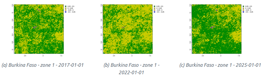
- Environmental data extraction (NDVI) with MODIS
- Statistical analysis of surveys and spatial analysis
- Drafting report
Partners
![]()


Images